



THE SETTING
A Natural Protected area within
the Doramas Rural Park
Rural Parks are extensive areas where traditional human activity (farming, herding or fishing) coexists with areas of natural or environmental interest, constituting landscapes of cultural and ethnographic interest. They are designated conservation areas, and dedicated to environmental education and sustainable tourism.
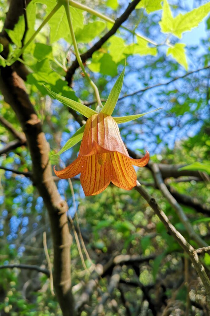
The Doramas Rural Park is outstanding for the diversity of its flora and fauna, including endemic species such as the aeonium virgineum, which takes its name from the Barranco de la Virgen, where it was first identified.
The scenery is varied, with mountains, gorges and laurel forests. It is the perfect place for outdoor activities, including hiking, bird watching and rural sightseeing. It is the perfect place for outdoor activities, including hiking, bird watching and rural sightseeing.
ENDEMIC
SPECIES
HIKING
NETWORK
SUSTAINABLE
TOURISM
The Barranco de la Virgen
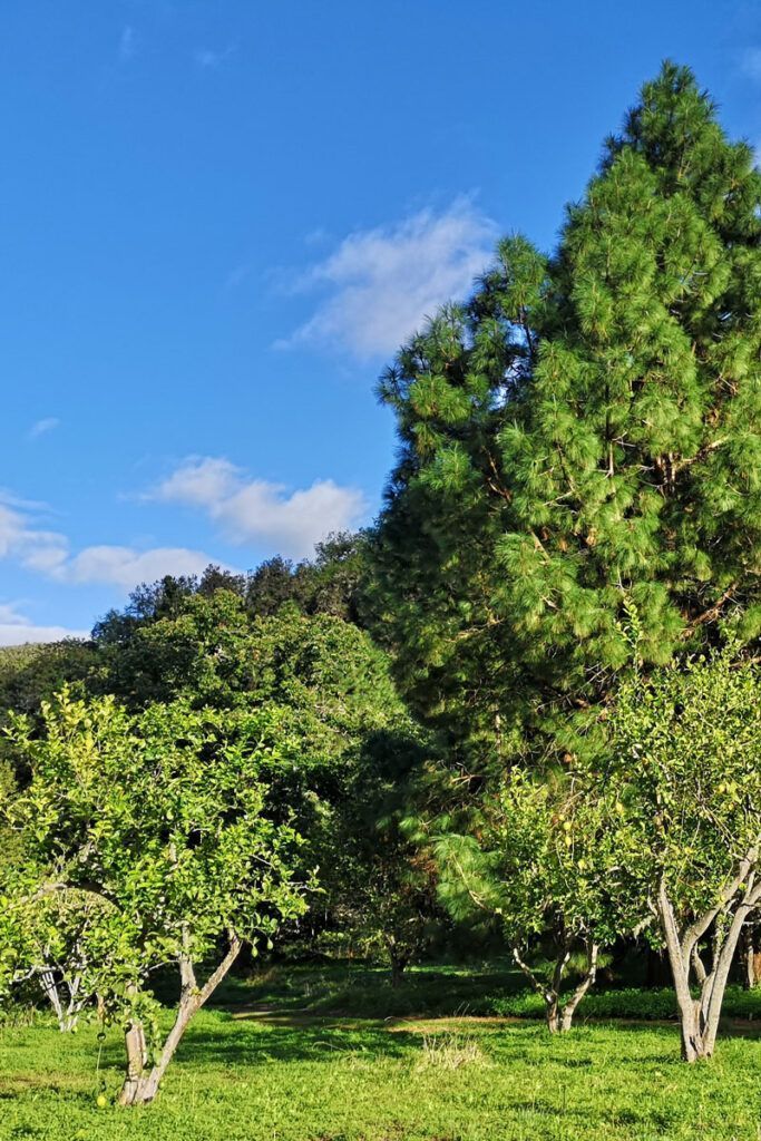
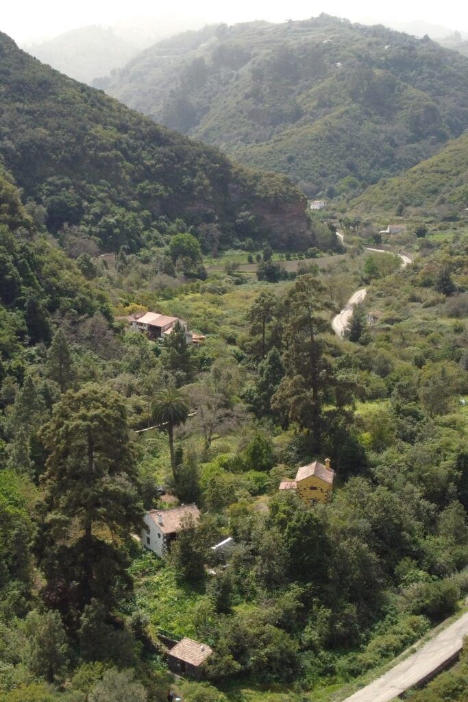
The finca is located in the Barranco de la Virgen, on a 150-metre-wide flood plain; it has a surface area of over 17,000 m2.
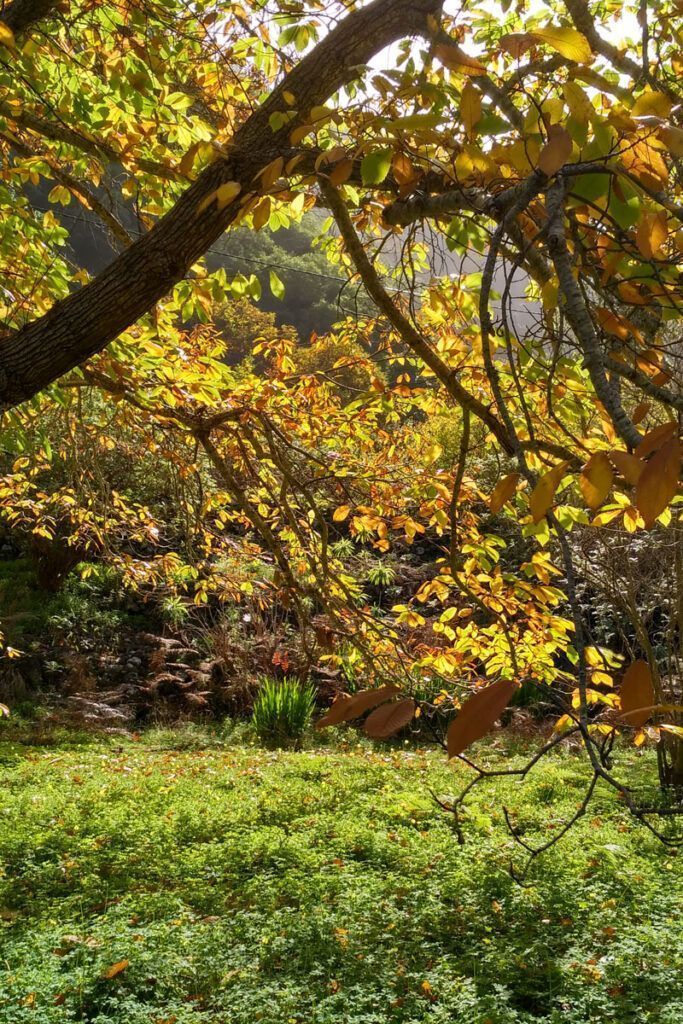
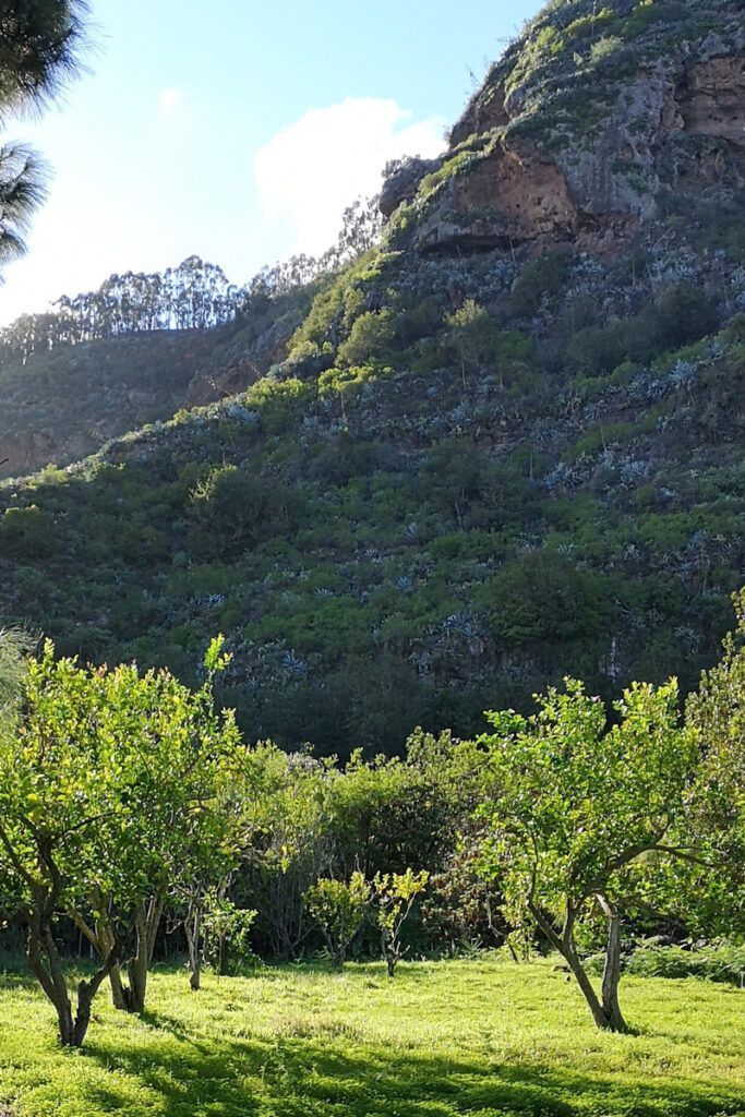
The Gorge has its origins in the mountain peaks of Gran Canaria, and it lies between great cliffs that have retained endemic plant species, many of which are only found in this area. The gorge has a great number of mineral water springs, many of which are still producing, with myriad wells and galleries containing water-related ethnographic assets of considerable importance.
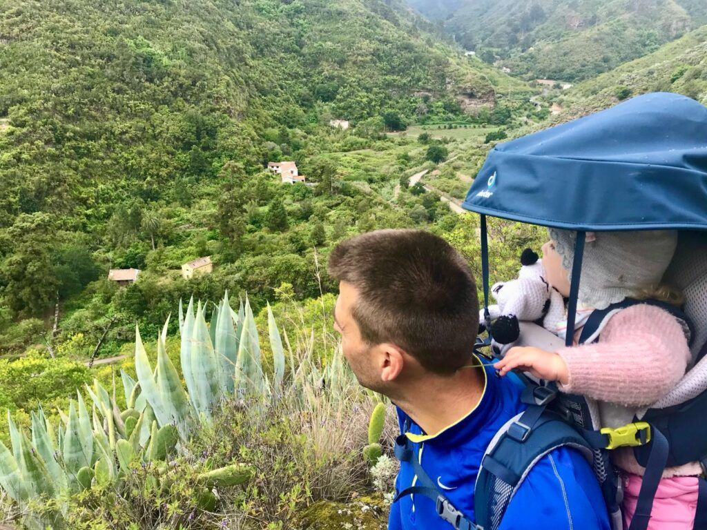
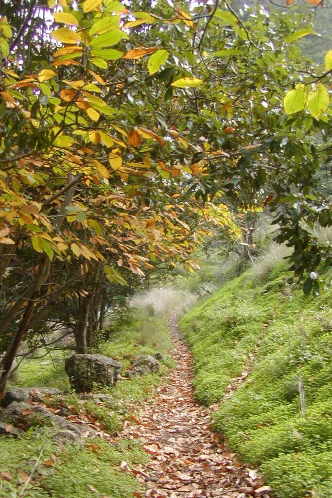
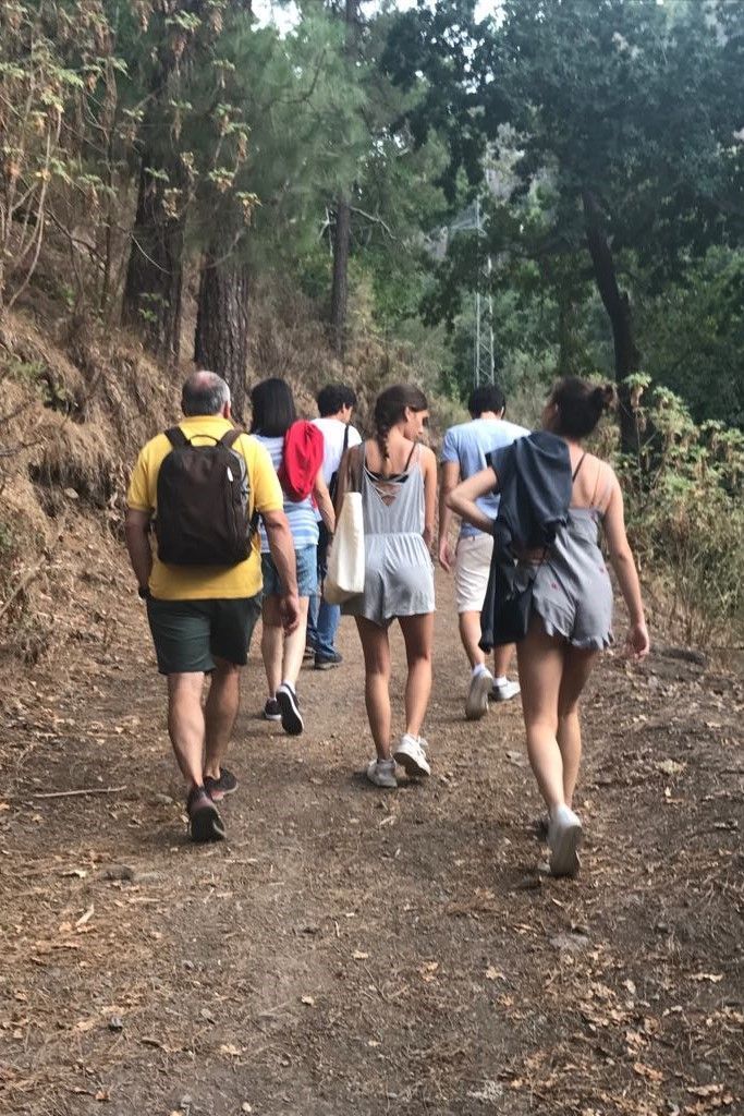
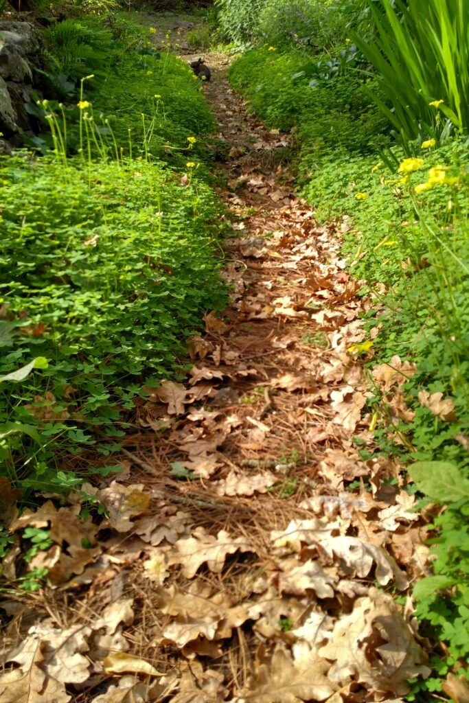
The gorge is criss-crossed by a huge number of paths; it is a perfect place to go hiking as a family, since the majority of the hikes are of low difficulty.
In 1767, Spain’s King Carlos III granted rights over land in the gorge, so that the income provided from farming would pay for the repair and running costs of the church of Teror (built to honour the image of the Virgen del Pino, the patron saint of the island of Gran Canaria). This explains the origin of the gorge’s name.
The Barranco de la Virgen
The finca is located in the Barranco de la Virgen, on a 150-metre-wide flood plain; it has a surface area of over 17,000 m2.
The Gorge has its origins in the mountain peaks of Gran Canaria, and it lies between great cliffs that have retained endemic plant species, many of which are only found in this area. The gorge has a great number of mineral water springs, many of which are still producing, with myriad wells and galleries containing water-related ethnographic assets of considerable importance.
The gorge is criss-crossed by a huge number of paths; it is a perfect place to go hiking as a family, since the majority of the hikes are of low difficulty.
In 1767, Spain’s King Carlos III granted rights over land in the gorge, so that the income provided from farming would pay for the repair and running costs of the church of Teror (built to honour the image of the Virgen del Pino, the patron saint of the island of Gran Canaria). This explains the origin of the gorge’s name.
Hiking and mountain biking
Hiking trails near the finca
Recommendations for enjoying hiking
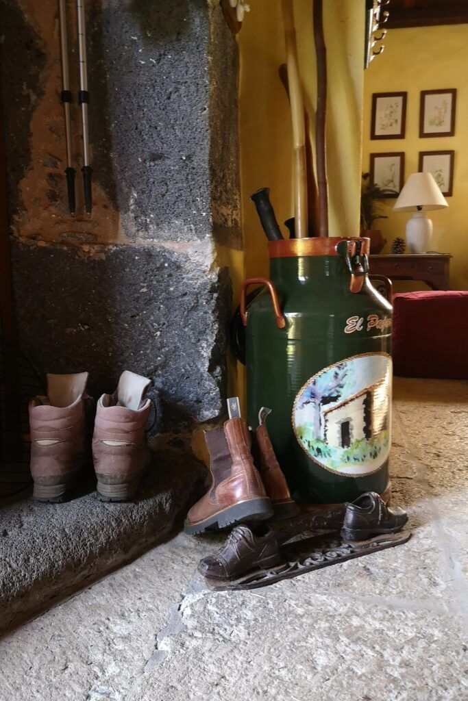
To go hiking, you will need to bring good boots, which must be comfortable and have been used before, clothing suitable for the time of year, (cagoule, hat, and so on), a rucksack for carrying food and drink (a sandwich, fruit, nuts, water), a stick, etc.
In this section you will find information about several trails taken from Wikiloc, which are of interest because of their proximity to the Finca. These are divided into two groups: hiking trails and mountain bike trails.
Activity: hiking / trekking
– Distance covered: 4.69 kilometres
– Altitude min: 535 metres, max: 782 metres
– Climbing: 300 metres, descending: 300 metres
– Degree of difficulty: Moderate
– Duration: 3 hours
– Ends at starting point (circular): Yes
If you want more information about this route click here.
Activity: hiking / trekking
– Distance covered: 12.87 kilometres
– Altitude min: 495 metres, max: 896 metres
– Degree of difficulty: Moderate
– Duration: 4 hours
– Ends at starting point (circular): Yes
If you want more information about this route click here
Activity: hiking / trekking
– Distance covered: 15.3 kilometres
– Altitude min: 597 metres, max: 1,113 metres
– Accumulated difference in altitude. going up: 1,330 metres, going down: 1,346 metres
– Degree of difficulty: Moderate
– Time: 4 hours 39 minutes
– Ends at starting point (circular): Yes
If you want more information about this route click here.
Activity: mountain biking
Distance covered: 13.36 kilometres
– Altitude min: 540 metres, max: 991 metres
– Accumulated difference in altitude. ascending: 713 metres, descending: 706 metres
– Degree of difficulty: Moderate
– Ends at starting point (circular): Yes
– Coordinates: 724
If you want more information about this route click here.
Activity: hiking / trekking
– Distance covered: 9.13 km
– Altitude min: 619 m; max: 1022 m
– Cumulative height gain uphill: 413 m; downhill: 439 m.
– Degree of difficulty: moderate
– Time: 2h. 36 min.
For more information click here.